Unlocking the Potential of UAVs and Spatial Data for Smart Urban Management
Amid rapid urbanization and digital transformation, the application of advanced technologies in urban management, infrastructure monitoring, and planning has become increasingly important. In particular, unmanned aerial vehicles (UAVs), combined with remote sensing technologies, Geographic Information Systems (GIS), and spatial data, are creating new opportunities for collecting, analyzing, and utilizing information, thereby improving management efficiency and supporting evidence-based decision-making.
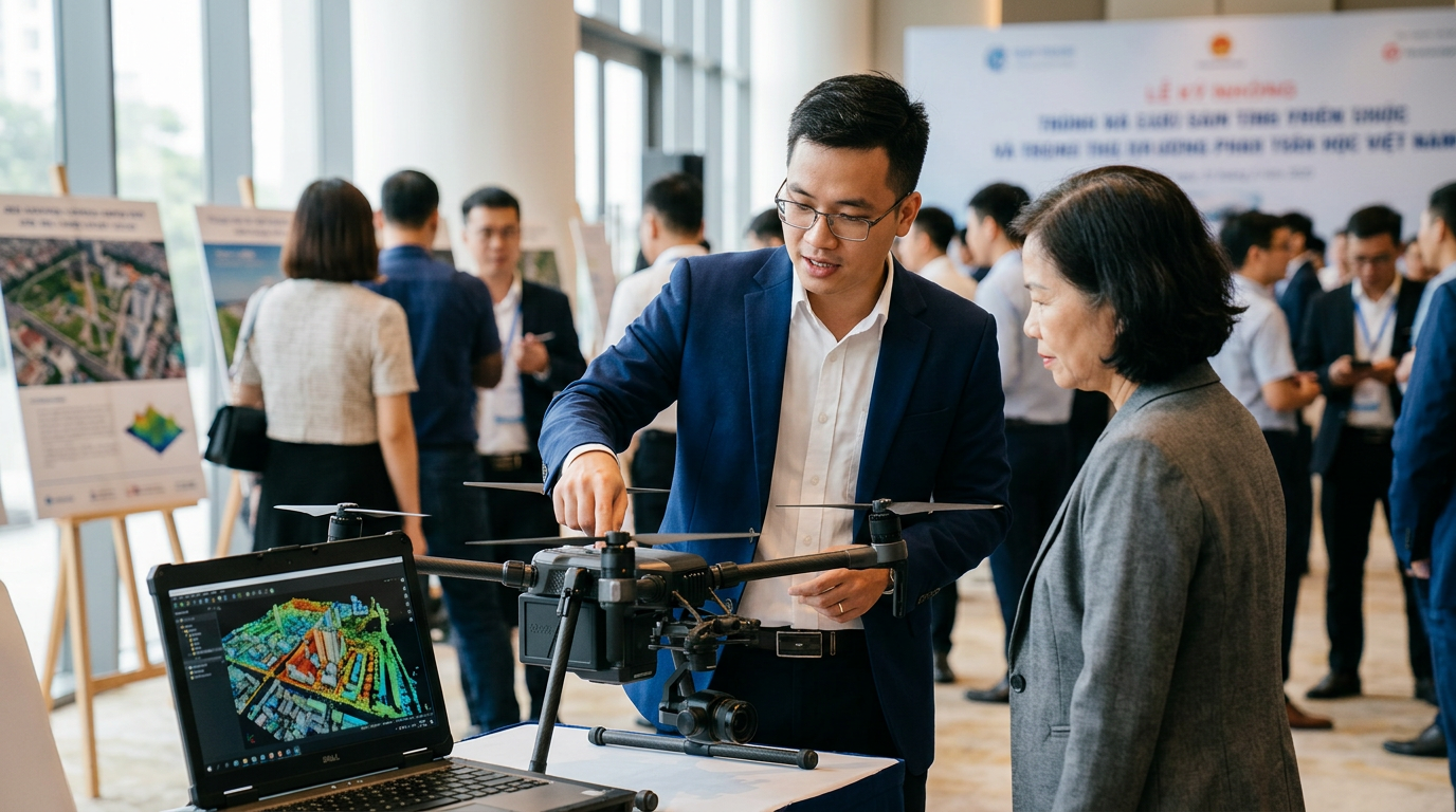
With their ability to capture aerial imagery, terrain data, and real-time information on urban conditions, UAVs can support infrastructure monitoring, urban change detection, mapping, and land-use assessments. When integrated with spatial data and analytical platforms, these technologies can also facilitate urban planning, identify potential abnormalities, and assess conditions in areas affected by incidents, helping authorities improve response capabilities and resource coordination.
However, integrating UAVs and spatial data into routine urban management still presents challenges related to technical infrastructure, data integration and sharing, as well as regulations governing flight permits and UAV operations. Addressing these issues is essential to ensuring that technological solutions can be deployed effectively, safely, and in accordance with practical requirements.
Against this backdrop, the Seminar will be hosted by the Hanoi People's Committee and Hanoi Innovation Center JSC (Hanovation), in coordination with the Ministry of Science and Technology, the National Agency for Technology Entrepreneurship and Commercialization Development, and the Hanoi Department of Science and Technology. The event is expected to bring together representatives of state management agencies, city infrastructure management units, UAV enterprises, experts in remote sensing and GIS, research institutes, educational institutions, and relevant organizations, providing a platform to connect practical management needs with applicable technological solutions.
Connecting Technological Solutions and Addressing Barriers to Practical Implementation
The Seminar will begin by examining the Capital’s need for UAVs and spatial data in urban and infrastructure management, providing a foundation for identifying priority application areas and evaluating the feasibility of technological solutions suited to Hanoi’s specific requirements.
Building on these discussions, two thematic sessions will introduce UAV applications for infrastructure monitoring and incident response, highlighting practical models and implementation results. The sessions will also explore the use of spatial and remote-sensing data in urban planning, assessment of existing conditions, and decision-making, demonstrating how geospatial technologies can enhance the accuracy and effectiveness of urban management.
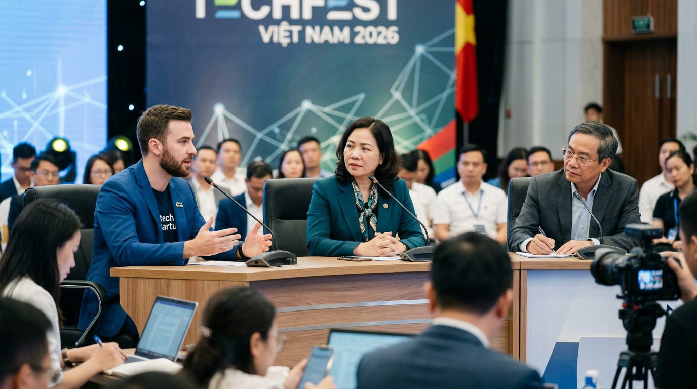
A key highlight of the programme will be the panel discussion on clearing the obstacles related to flight permits, data sharing, and pilot implementation. Representatives of government agencies, experts, and enterprises will exchange perspectives on regulatory and technical challenges encountered during deployment, while exploring potential coordination mechanisms, technical requirements, and opportunities for testing solutions that respond to the City's practical needs.
Through presentations, panel discussions, and direct exchanges, the Seminar is expected to strengthen connections among government authorities, infrastructure operators, and technology enterprises. These interactions will help lay the groundwork for further research, pilot projects, and the gradual integration of UAVs and spatial data into urban management practices.
As one of the thematic events of TECHFEST Vietnam 2026, the Seminar aims to promote innovation in addressing practical urban challenges, enhance the effectiveness of infrastructure management, and support Hanoi's development toward a smarter, more modern, and sustainable city.